

County town, three councils
A county town in the gap the Ouse cut through the Downs
A compact town with three councils, close roofs and four named areas, each meeting the sky in its own way.
Lewes is the county town of East Sussex and the administrative centre of Lewes District. It has a town council, a district council and a county council, which is a fair hint that more than one body may take an interest in a roof.
The town sits where the River Ouse cuts through the South Downs. The main roads are the A27, the A26 and the A275. The 2011 census recorded 17,297 residents in the parish, so this is a compact town, and a compact town means roofs that sit close together and are seen from the streets around them.
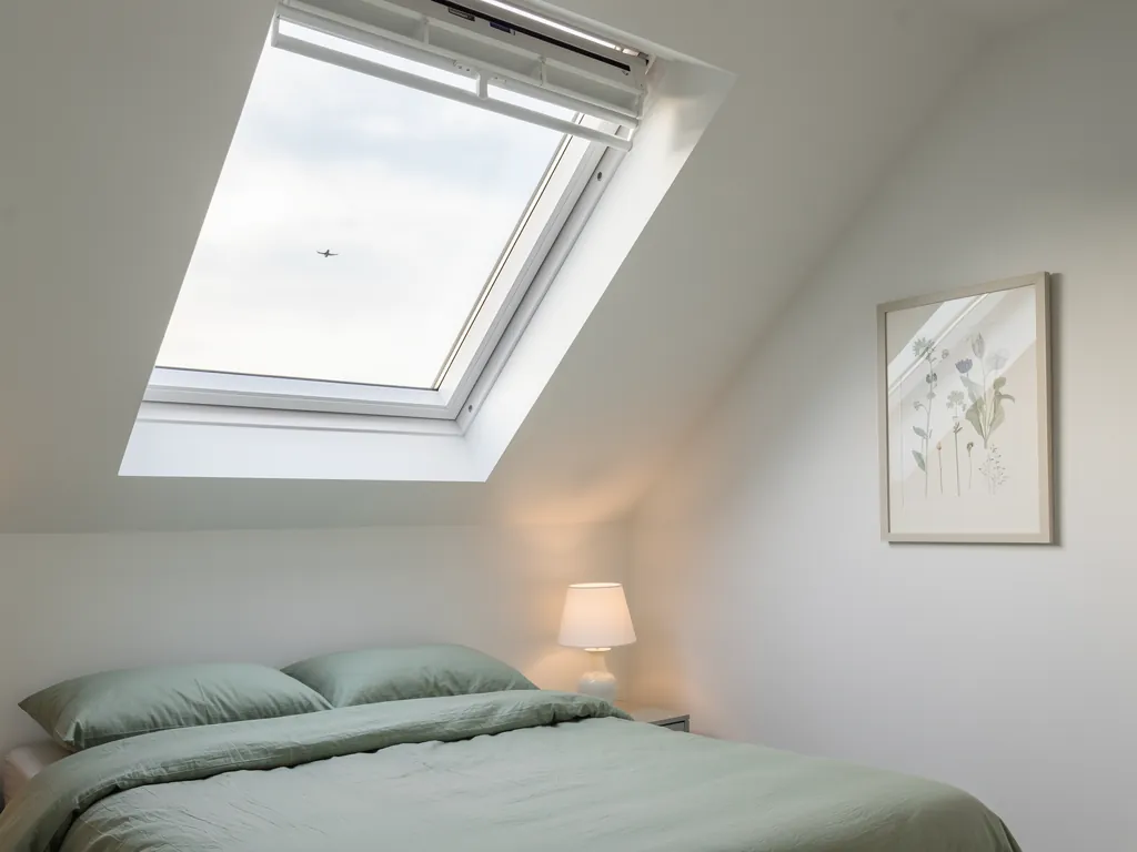
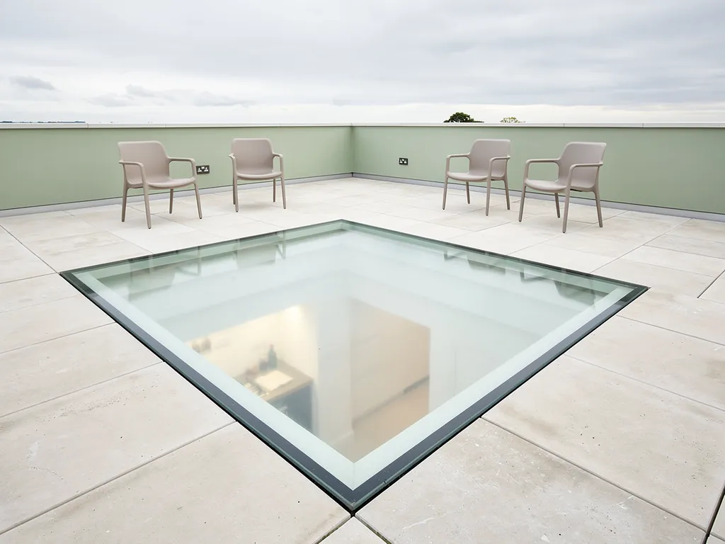
The research names several distinct areas: the High Street and West Bank, Cliffe, Southover, and St John's and Pells with their nineteenth-century streets. Each meets the sky in its own way. We work from Crawley, and Lewes is 26.4 road miles from us, inside our 30-mile range, so a survey is a planned visit with the tape and the questions ready. A rooflight and a skylight are two names for the same glazed opening in a roof, and whichever word you use, daylight is the reason to fit one. What else the glass lets through is the question this page keeps returning to.
Lewes at a glance
- 17,297Residents in the parishThe 2011 census count, for a compact town of close roofs.
- 26.4Road miles from CrawleyA planned survey visit, with the tape and the questions ready.
- 30Mile range we coverLewes sits inside it.
NextThe National Park Authority and the two conservation areas