

A village on one road
A linear village on the old north-south road
With no central square, Henfield stretches along the A281, and that shape decides how its houses sit and what they hear.
Henfield has no single square at its heart. It stretches out along the route that is now the A281, and that shape explains much about how its houses sit and what they hear.
The conservation area appraisal describes a linear settlement, laid along the old north-south way. The village spreads over a ridge of Lower Greensand rock and Folkestone sandstone. It stands in the Low Weald, about two and a half miles north of the scarp of the South Downs, and the River Adur, still tidal at this point, runs roughly two kilometres to the west. The two branches of the Adur meet at Betley Bridge, just beyond the western edge of the village. Henfield was already a large village at Domesday, with 52 households recorded. By the 2011 census it had 5,349 residents.
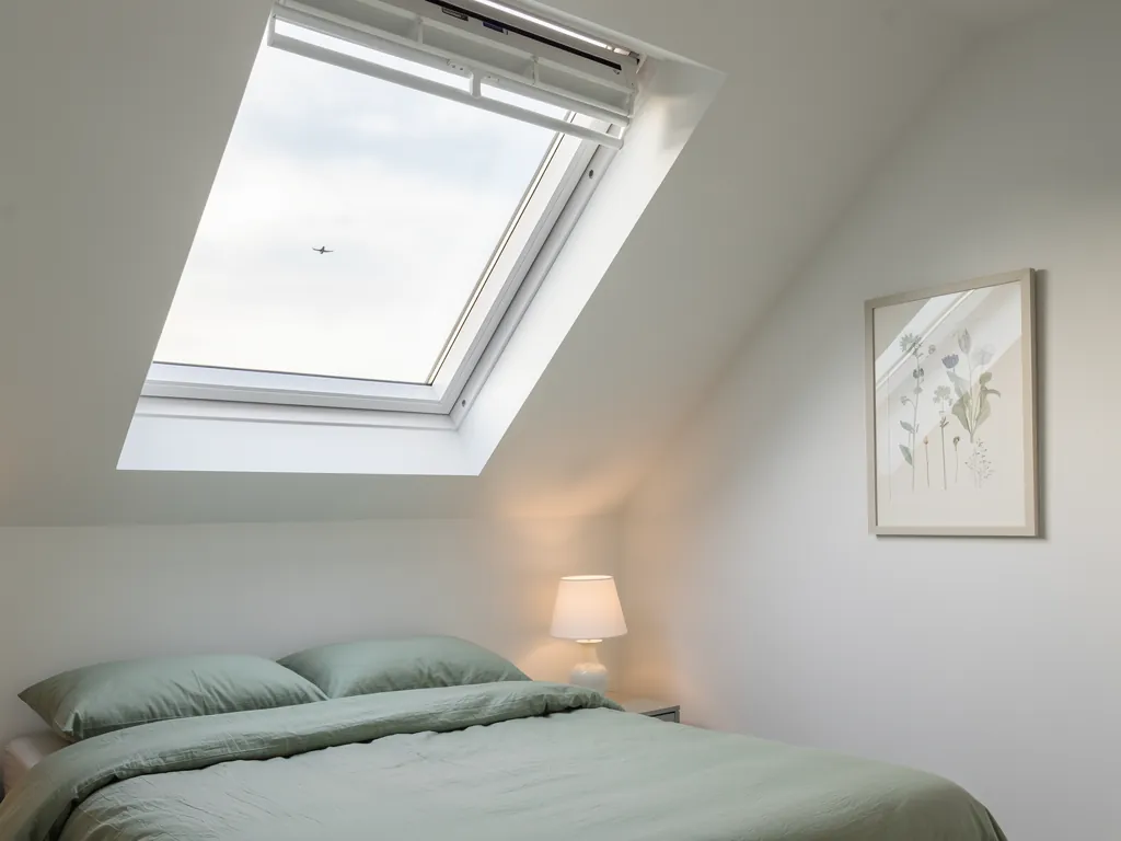
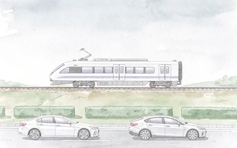
The A281 and the A2037 meet here, so the village has a through road as its spine. A rooflight over a front bedroom that faces the street looks onto that road, and the road is the first thing we would listen for at the survey. A house tucked behind the High Street hears something different, and the survey finds that out instead of assuming it.
What shapes a Henfield roof
- A single through roadThe A281 and the A2037 meet here, so the road is the village spine.
- A ridge of sandstoneThe village spreads over Lower Greensand rock in the Low Weald.
- The tidal AdurThe river runs to the west, and its two branches meet at Betley Bridge.
- Centuries of buildingEach generation added its own roof, so coverings are mixed.
A village built up over many centuries along one line also ends up with mixed roofs. Each generation added its own. For the general thinking behind choosing glazing before we apply it here, how to choose a rooflight sets out the options, and the chapters below fit them to Henfield.