


Where Steyning stands
A town at the north end of the Adur gap
The Adur, the old port and the Downs behind explain how the town is laid out, and where a rooflight is best placed.
Steyning stands where the River Adur cuts through the South Downs. The ground, the old port and the hills behind all still explain the way the town is laid out.
The town lies in the Horsham district of West Sussex, about four miles north of Shoreham-by-Sea, and the 2022 census counted 5,832 residents. Wooded Downs slopes rise to the south and east. The floodplain of the Adur lies to the east of the town. Steyning was a medieval port before the river silted up in the 14th century, which is a good reminder that the landscape here has changed its mind before.
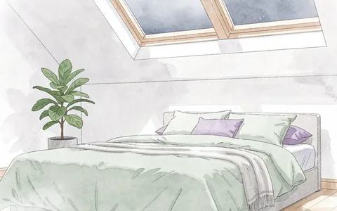
For a roof, geography matters in two plain ways. Slopes facing the Downs get shade from trees in some seasons and strong light in others, and a rooflight position is chosen with that in mind. Rain on glass is something we plan for wherever the house stands. Our page on where to position a skylight in a room covers the general rules. What follows applies them to the roofs Steyning actually has.
Steyning in three numbers
- 5,832Residents countedThe census count for the town.
- 21.7 road milesRoad miles from CrawleyWell inside the 30 miles we cover.
- 14th centuryThe century the river silted upSteyning was a medieval port before that happened.
From Crawley the town is 21.7 road miles, well inside the 30 miles we cover. Neighbouring towns have their own pages, including Shoreham-by-Sea, but Steyning's housing and planning position are its own.