


The parish
A village on the scarp, in Tandridge District
Warlingham is a hilltop parish in Tandridge District, about 19 road miles from Crawley, and its height changes what a roof lives through.
Warlingham is a civil parish in Tandridge District, Surrey. That places it under Tandridge District Council for planning, with Surrey as the county, and it puts the village about 19 road miles from our base in Crawley.
The parish is centred on a triangular village green, and the Green Belt separates it from Woldingham and from Caterham. The land sits on the scarp slope of the North Downs, and parts of the village stand about 200 m above sea level. Height changes what a roof lives through. A slope that high catches more of the weather than a house in a hollow, so rain arrives harder and the glass above a bedroom or a kitchen takes the full force of it.
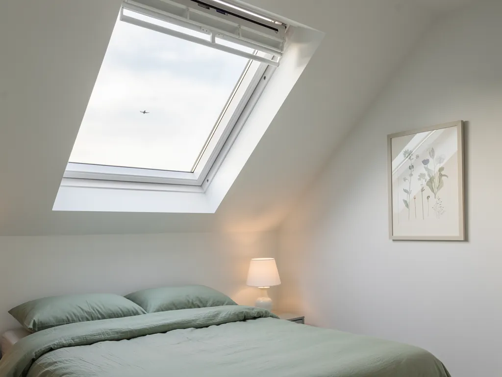
The 2011 census counted 8,036 residents. That is a village of a modest size, with a settled feel, and most of its roofs are the ones the houses were built with. Those roofs are the starting point for everything below. A rooflight is a hole in the roof with glass in it, and a good job respects the roof it is cut into.
Warlingham in three numbers
- 19 road milesDistance from our Crawley baseWarlingham falls under Tandridge District Council for planning.
- 200 mHeight of parts of the villageThe village stands on the scarp slope of the North Downs.
- 8,036Residents counted in 2011A village of modest size, with a settled feel.
If you are still deciding between the two words, our page on what rooflight and skylight mean clears up the vocabulary. In this village the choice of word matters far less than the choice of unit, and the rest of the page is about that.