


A high settlement
A hilltop settlement inside the Green Belt, in the borough of Bromley
Biggin Hill is a London address with an open hilltop character, and its roofs take the weather first.
Biggin Hill sits in the London Borough of Bromley, about 15.2 miles south-south-east of Charing Cross, and the Metropolitan Green Belt separates it from the built-up area. It is London by address and open country by character.
The population was 9,951 at the 2011 census. Because it is a London borough, there is no county council layer above the town: Bromley Council is the local planning authority, and it is the body that matters when a roof alteration needs a question answered. The settlement was historically called Aperfield, a name still worth knowing because older deeds and plans may use it.
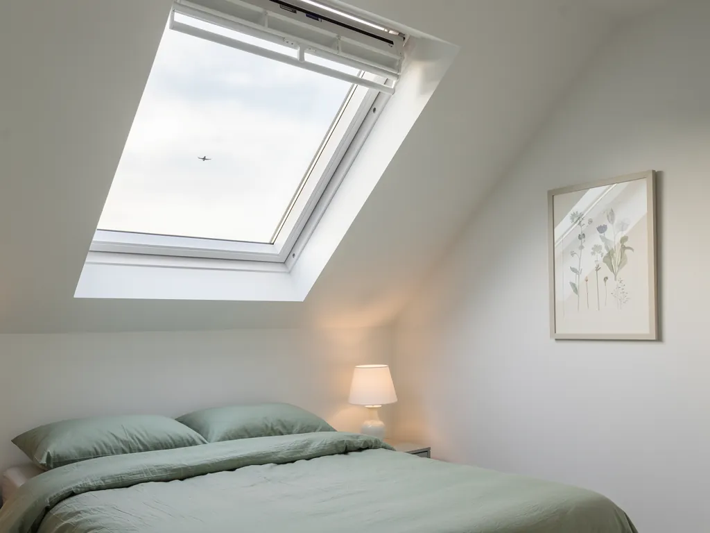
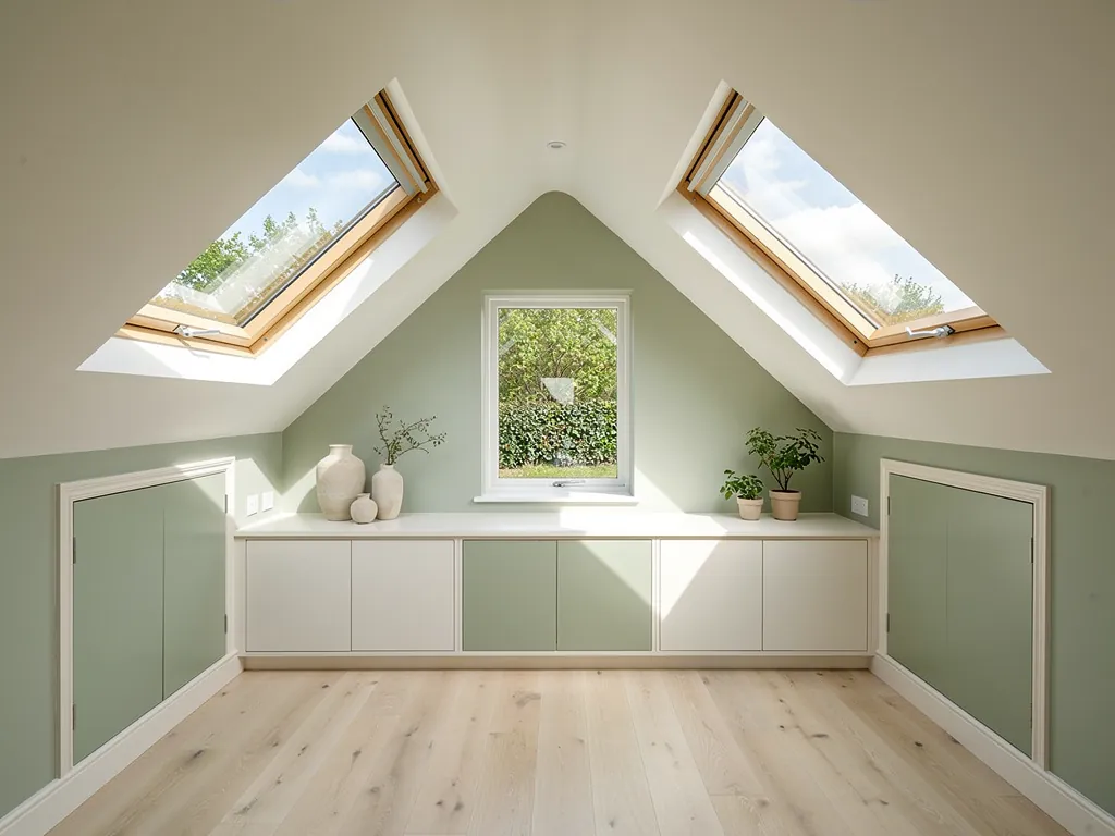
The ground is high. Biggin Hill is one of the highest points in Greater London, rising to over 210 m above sea level. A rooflight is a roof opening with glass in it, and a skylight is the same thing under another name. On a hilltop, the roof is the part of the house that takes the weather first, so the glass, the seals and the kerb it sits on are all working harder than they would in a sheltered valley.
Biggin Hill in numbers
- 15.2Miles south-south-east of Charing CrossThe Green Belt separates it from the built-up area.
- 9,951Population at the 2011 censusBromley Council is the local planning authority.
- 210Metres above sea levelOne of the highest points in Greater London, rising to over this.
- 24.7Road miles from CrawleyWell inside our 30 mile reach.
We work from Crawley, and Biggin Hill is 24.7 road miles from us. That is well inside our 30-mile reach, so a survey is a planned visit. If you would like to compare it with a neighbour, our pages for Westerham and Bromley cover the places either side.
NextFrom weekend plots to family estates: how the roofs got here