


Made by the railway
A town that the railway made
The railway turned a village into a town, with terraces, semis and villas laid out for people within reach of the line.
Sutton is the administrative centre of the London Borough of Sutton, about 10 miles south-southwest of Charing Cross. It is a town with a long high street, a station, and streets of older houses running off in every direction.
The station opened in 1847, and that date explains most of what you see. Before it, Sutton was a village. After it, the population more than doubled between 1851 and 1861. A place does not double in ten years without building, and the building came in terraces, semis and villas laid out for people who wanted a home within reach of the line.
The 2021 census recorded 58,880 residents in Sutton town and 209,639 across the borough. The town sits on a narrow bed of Thanet Sands, at between 23 and 115 metres above sea level, so some streets are on a slope and some are on the level. Banstead Downs, a 430-acre SSSI, lies close by, which gives the southern edge of the town an open outlook that the older streets to the north do not have.
How the railway built Sutton
- 1847The station opensBefore it, Sutton was a village.
- between 1851 and 1861The population more than doublesBuilding follows in terraces, semis and villas.
- 2021The census counts the town58,880 residents in Sutton town.
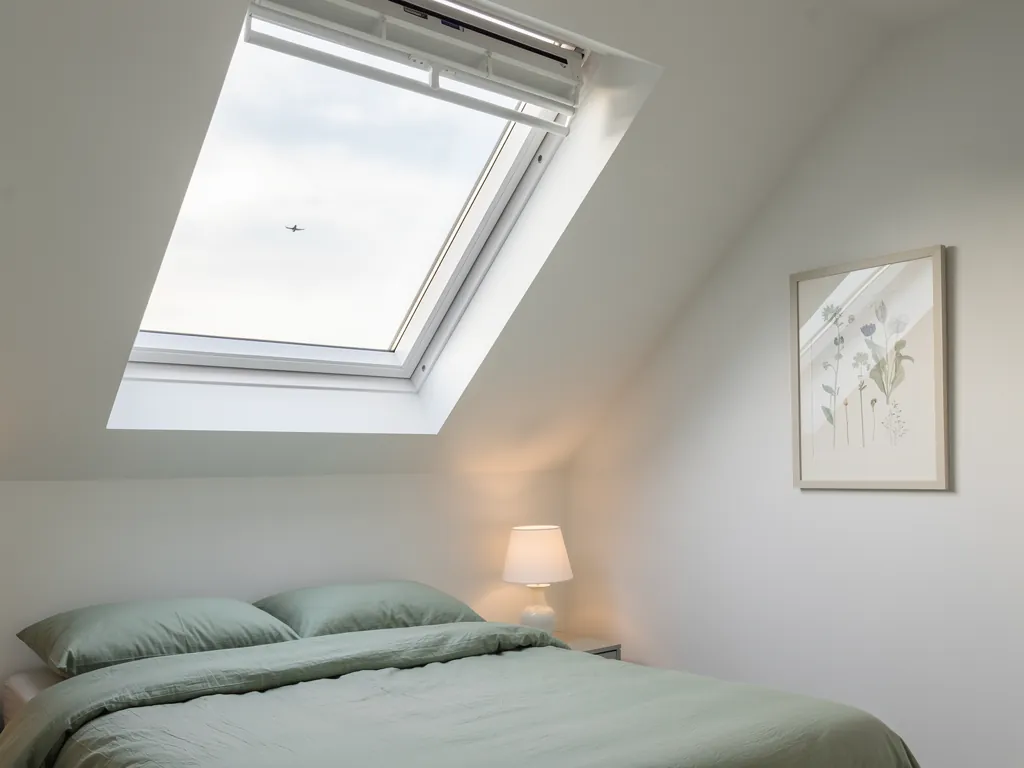
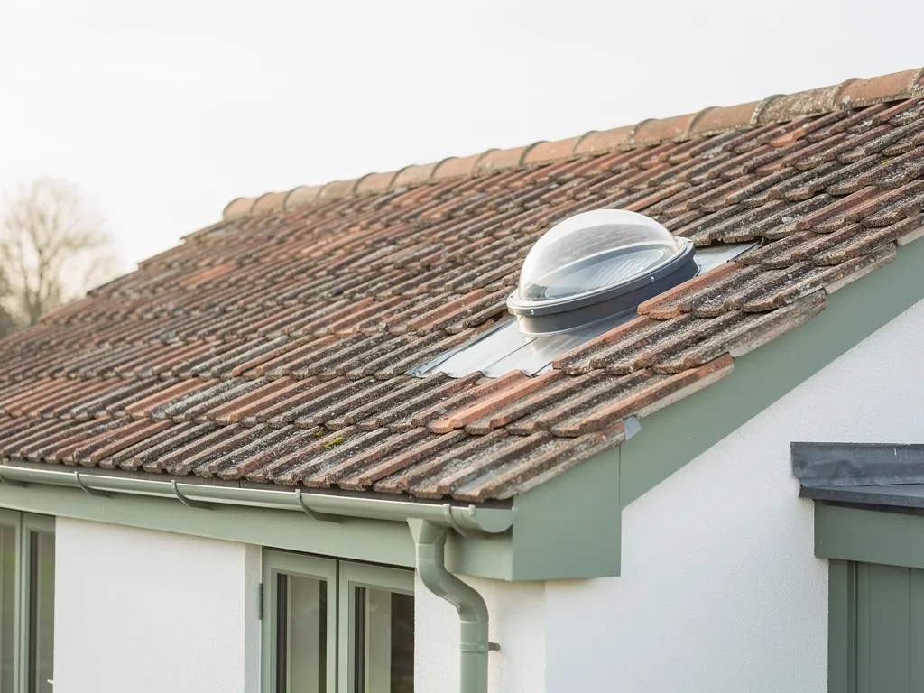
We work from Crawley, 20.6 road miles away, so a survey in Sutton is a planned visit. A rooflight is a simple idea: a hole in the roof with glass in it. The difficulty is that the roof is the thinnest part of a house, and whatever is happening outside is heard through it. Our page on what the words rooflight and skylight mean sets out the vocabulary, and the rest of this page applies it to Sutton.