

A wide parish
A parish a mile north of Uckfield
Buxted covers far more than the village, so a Buxted address can mean very different ground and a very different survey.
Buxted is a village in its own right, and its parish is larger than the village. Five Ash Down, Heron's Ghyll and High Hurstwood all sit inside it, so a Buxted address can mean very different ground.
The 2011 census recorded 3,343 residents across 21.6 square kilometres. That is a spread-out parish, with compact village streets at one end and scattered farmhouses and lanes at the other. A survey in High Hurstwood and a survey near the station are different visits, even though both are "Buxted".
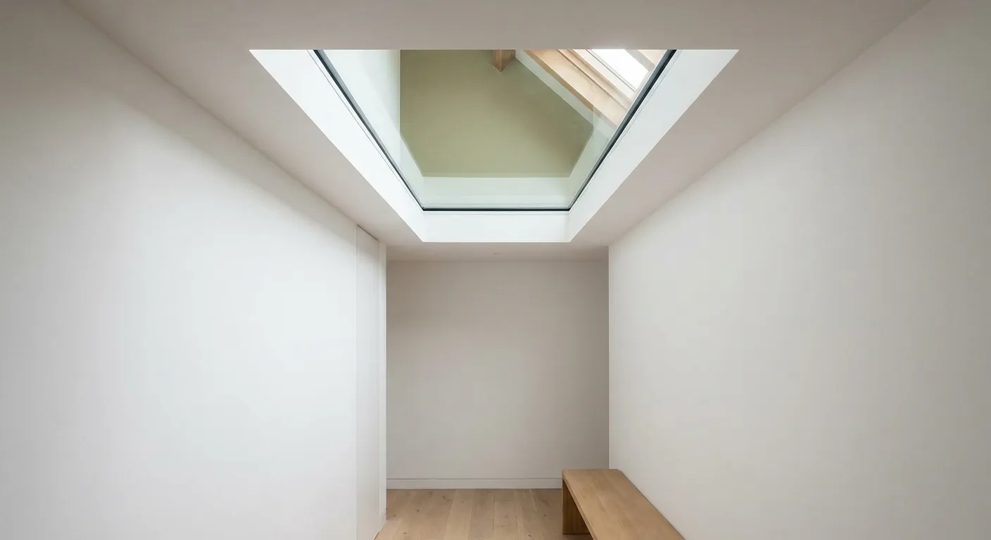
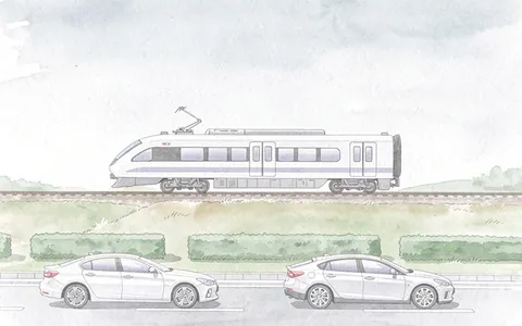
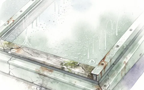
The village is 21.8 road miles from Crawley, well inside the thirty miles we cover. Someone stands in your loft or under your flat roof, reads how the roof is built and listens to the room. That listening is the part most installers skip. A rooflight is a hole in the roof, and the roof is the thinnest part of most houses, so the opening that brings in daylight can also bring in the road, the train and the rain.
Buxted in three numbers
- 3,343Residents recordedAcross the whole parish at the 2011 census.
- 21.6 square kilometresSquare kilometresThe area the parish covers.
- 21.8 road milesRoad miles from CrawleyWell inside the thirty miles we cover.
The written result is the quiet spec that comes with every quote. You can read how it works on the quiet spec page. The chapters below show what it might say for a house here.
If you are comparing villages, the Uckfield page covers the town a mile to the south. Buxted is a separate parish with its own planning record, its own listed buildings and its own railway station.
NextRoofs from a thirteenth-century church to a Georgian park